There are many fascinating, yet little-known facts about Alaska's geography. Before heading out on your next Alaskan cruise, take time to learn more about what makes this state so unique. Here are five interesting facts about Alaska's geography to get you started:
- Alaska has 3 million lakes.
Move over, Minnesota — you might be the Land of 10,000 Lakes, but Alaska is the land of 3 million lakes. The largest of these is Lake Iliamna, which ranks as the eighth-largest lake by area in the US, and is home to a variety of marine wildlife.
- Alaska has more than 12,000 rivers.
The largest of these rivers by far is the Yukon River stretching 1,280 miles. Alaska's rivers were used by Native Alaskans for transportation during the winter and summer in interior Alaska, and have provided a significant portion of food for the people who loved along its banks.
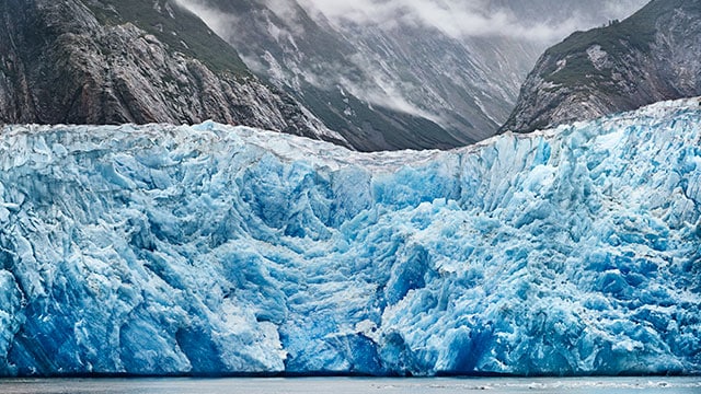
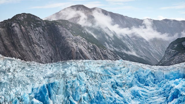
- Alaska has an estimated 100,000 glaciers.
The largest of these is the Malaspina Glacier which covers around 850 square miles. Given its location near the Arctic Circle, Alaska has the majority of glaciers in the United States.
- Alaska has more volcanoes than any other state.
When you think of volcanoes, you might think of Hawaii — but Hawaii's Pacific partner, Alaska, has over 130 volcanoes, 50 of which have been active since around 1760. Together these active volcanoes represent approximately 75 percent of U.S. volcanic eruptions in the past 200 years. This has caused considerable issues with aviation and oil production in the past, causing millions of dollars in damages due to volcanic ash.
- Alaska has 33,904 miles of tidal shoreline.
Alaska is bordered on the north, west and south by oceans, and its beautiful coastal environment draws many visitors every year. Taking an Alaskan cruise can be a great way to experience the rich coastal wildlife and vistas along some of the state's vast tidal shoreline.
Have you experienced the wonders of these facts about Alaska for yourself on a cruise? Share your photos with Princess Cruises on twitter or facebook.


